Coyote Valley Trail – Rocky Mountain National Park – Trip Report
The other weekend when we decided we wanted to do some hiking at Rocky Mountain National Park, we decided to head to the Grand Lake Entrance and side of the park for the first time. Typically we head right to Estes Park and into the park that way, which is where the majority of the hiking trails (and crowds) are, so this time we thought we would try something different.
To reach the Grand Lake Entrance to the park, you take a nice drive out I-70 West to Empire and then through the towns of Winter Park, Granby, and Grand Lake. Since we hadn’t stopped in any of these mountain towns yet, it was nice to take a detour from our normal route and see some different areas. We’ll certainly have to venture back that way for longer than just a pit stop.
Once we reached RMNP, you are already on Trail Ridge Road which is one of the highest paved roads in the country. It connects the Grand Lake side of the park to the other side and is closed for about half the year depending on snow & weather conditions.
Originally our plan was to walk along the Coyote Valley Trail and then head up and over Trail Ridge and back down to Estes Park and exit the park that way. Well, we hiked the Coyote Valley Trail, road up to the Trail Ridge Visitors Center, but decided to just go back out the way we had come into the park.
Anyway, back to the trail report for the hiking… that’s really what matters anyway, right?
Coyote Valley Trail
The Coyote Valley Trail (CVT for short) is about 5.5 miles after the Grand Lake Entrance to the park. It will be on the left hand side of the road and does not have a ton of parking, but since it is such a short and quick trail, you should be able to find a spot. When we were there, there were cars parked on both sides of the trailhead road as well as at the actual trailhead parking since it was so full. Many people come to this area to fish along the river, so it may be crowded!
We actually snagged a parking spot right in front of the trail and by the bathrooms and trashcans, which was kind of nice. It made it very easy to access the trail and other amenities.
Knowing we were going to be getting to the park around lunch time, we packed the cooler for a picnic lunch and figured we would eat at the trailhead or find somewhere else with tables.
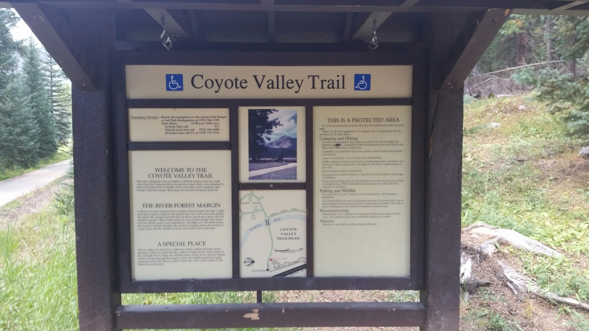
Once we got there, I went to check the map & bulletin board out and noticed that they have a great little loop off of the trail that has a bunch of picnic tables – great, we could pack up our lunches, eat, and then get in a quick hike too. Well as I was looking around, I also noticed that the trail was handicap accessible! A big plus since most trails are not going to be. BUT, as a parent, that also meant it was stroller accessible! Woohoo!
So we threw our lunches in the stroller, plopped Bailey in, and we were off! After you cross the river, the trail splits and to the left are a handful of picnic tables around a circle and to the right is the rest of the trail.
Some have shade and some don’t.
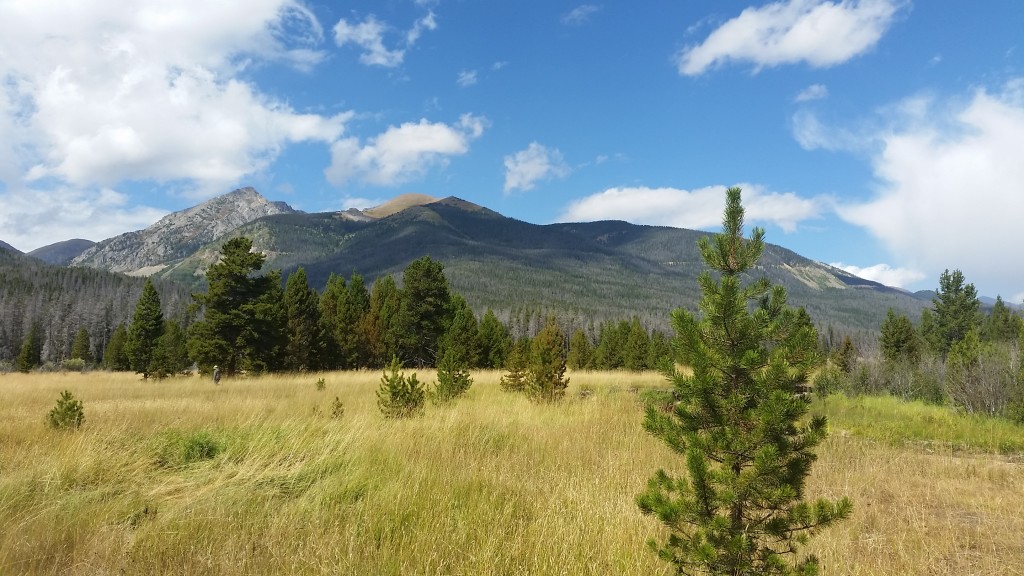
Some give you some great views of the meadows and mountains and others views of the river.
A really nice spot to stop.


After we finished lunch, it started to rain a little so we waited it out for a few minutes underneath a tree and then headed back to the main trail. The rain only stuck around for a minute before the clouds moved off into the distance and the sky cleared back up; so it was time to hit the trail.
From the picnic circle, we headed back towards the bridge and down the main Coyote Valley trail. The trail is flat and well maintained. It is wheelchair accessible so it is a night graded trail and wide enough for wheelchairs to pass in most areas. You’ll pass the river multiple times on your side and also come across some other little ponds depending on the time of year and how much rain there has been.
Unfortunately, there’s really not too much to report about the actual trail itself. It’s basically flat, easy going walking and will take you about 0.5 miles out into the meadow before coming to a dead end and you return back the way you came to the parking lot, for a total of roughly 1.0 mile.
There are a few signs posted along the way sharing some of the history of the Kawuneeche meadows and area which is always great to read about. From hunting grounds for the Utes and Arapaho Indians, mining towns for gold prospectors in the 1870’s, homesteaders trying to ranch the land, tourism offerings through the Never Summer Ranch and others in the 1920’s, and finally 1975 when the Kawuneeche Valley was added to Rocky Mountain National Park.
After our hike, we loaded back up into the car and ventured up Trail Ridge Road to the Alpine Visitors Center for a quick stop and then returned to the valley floor and back out of the park. All in all, it was a great day spent in one of the most visited National Parks in the country.
More trip reports and trail details for other parts of the Park will be coming in other posts! So stay tuned for details on the Fern Lake Trail, Bear Lake Trail, and more.


